Available Maps
You can download a zipped file of Maps 1-17 HERE.
Zipped file of Maps 18-24 HERE.
Google Maps
Map of Streets
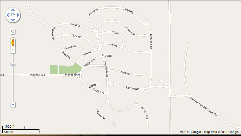
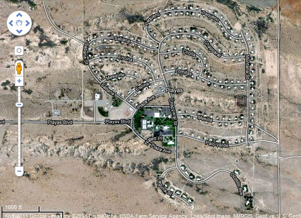

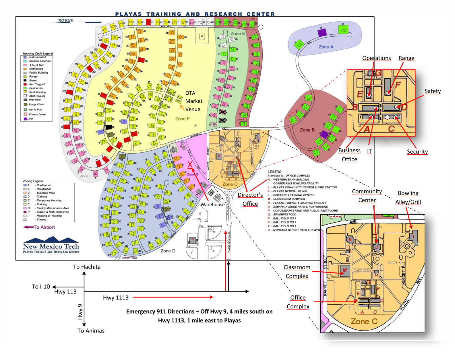
Zones and Streets
Map of Streets
Visitor's Map (more detail)
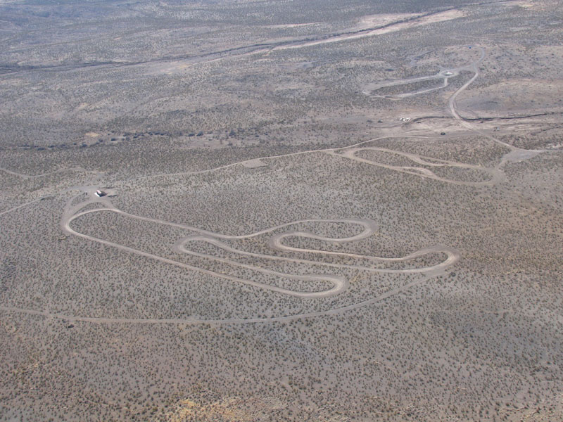
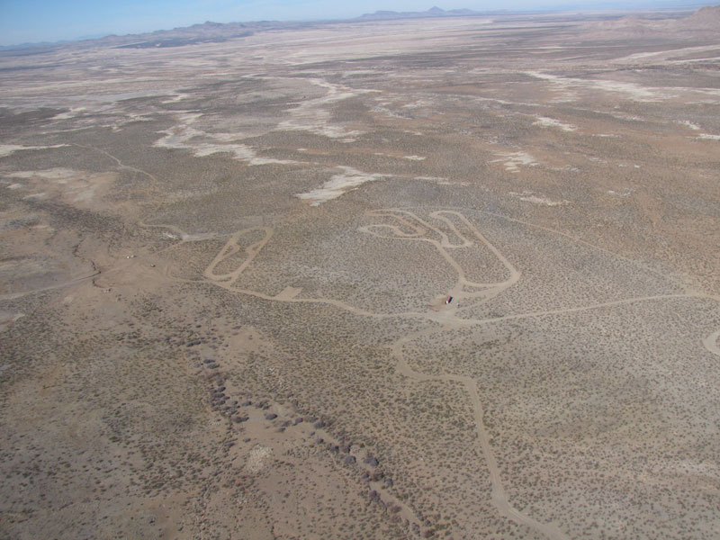
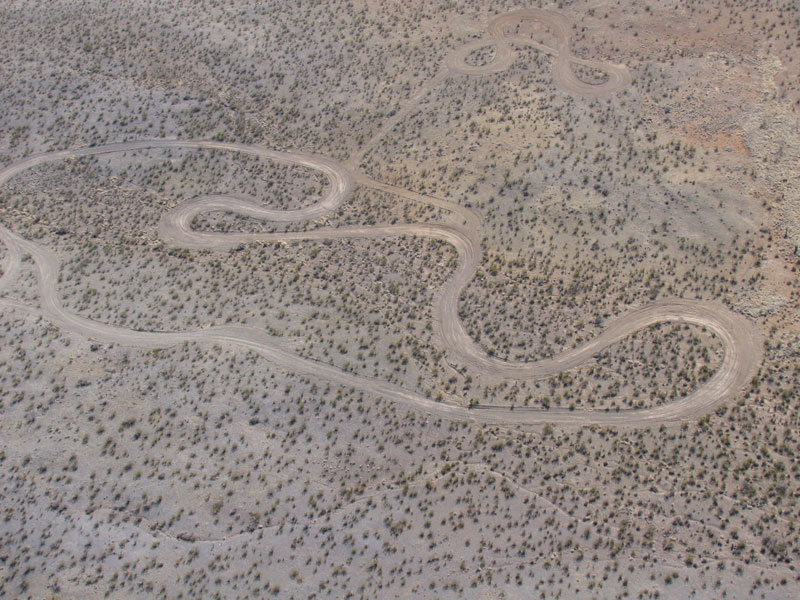
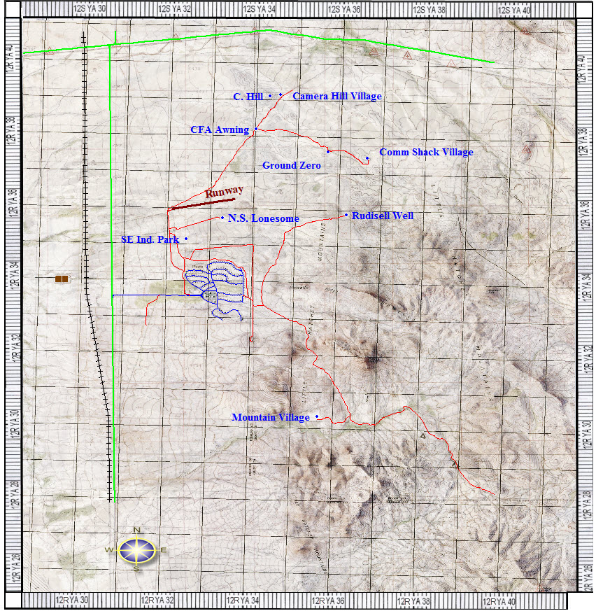
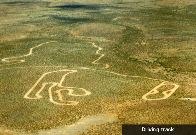
Driving Track

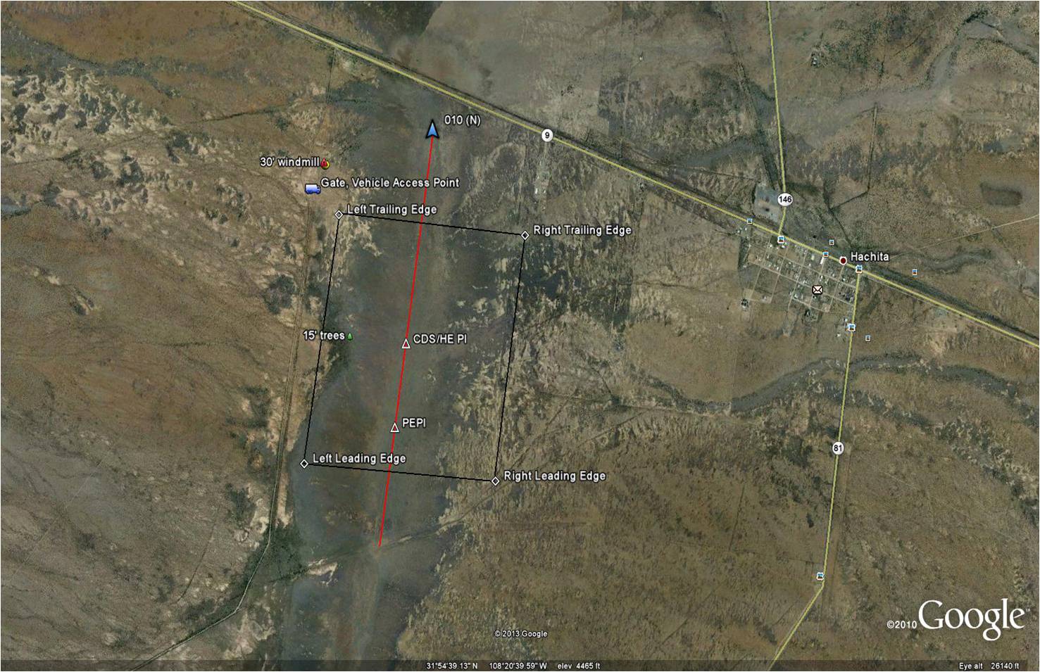
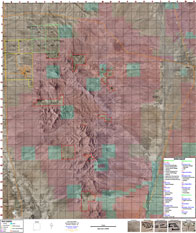
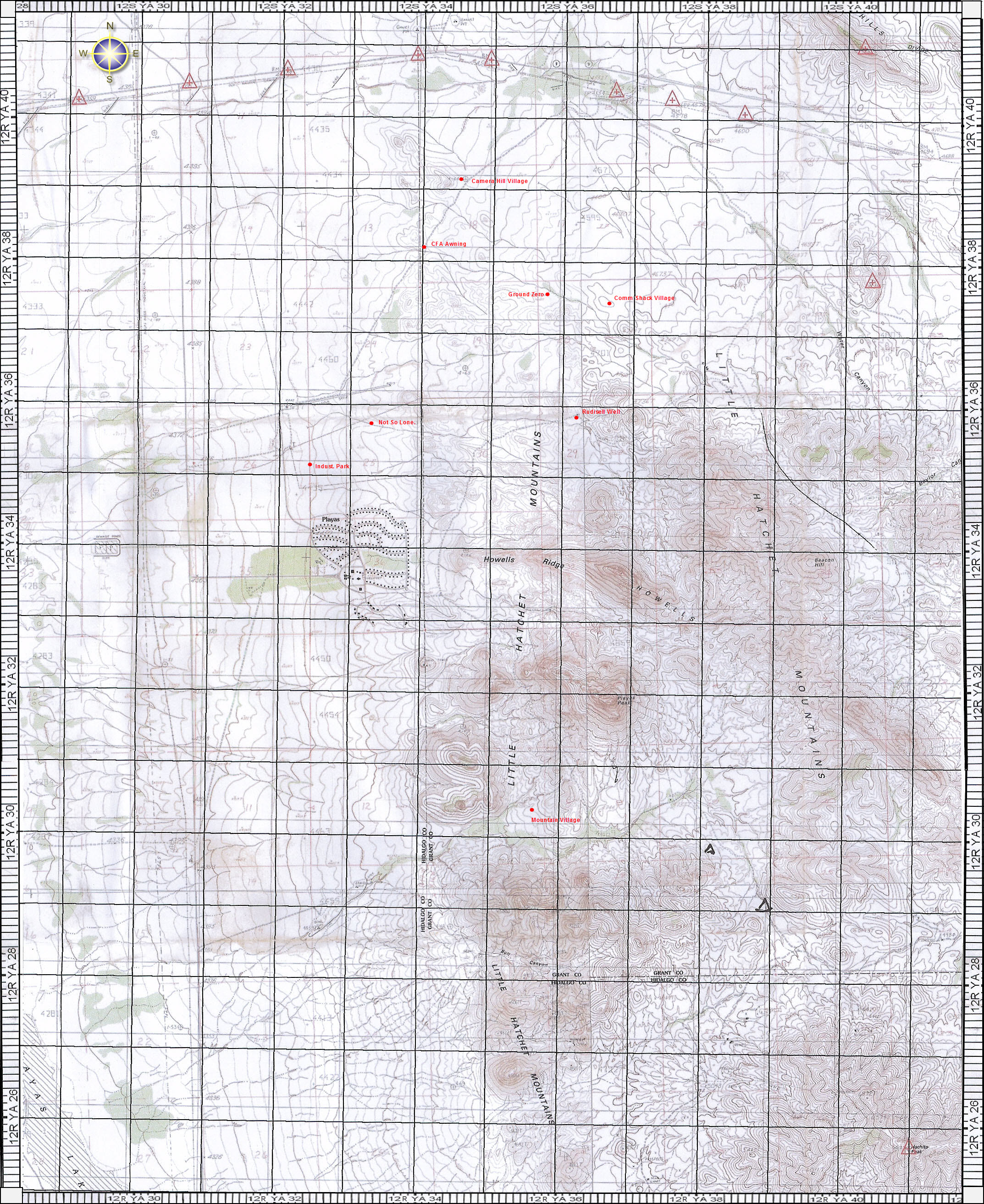
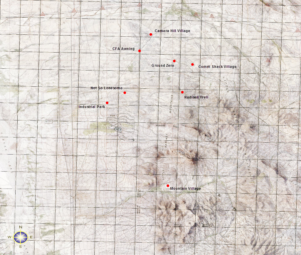
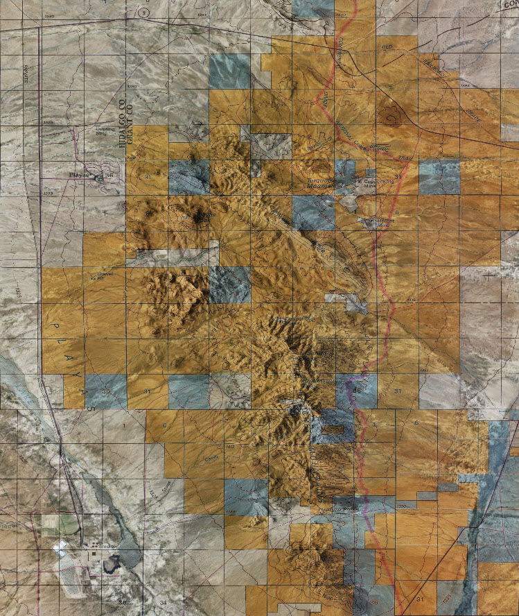
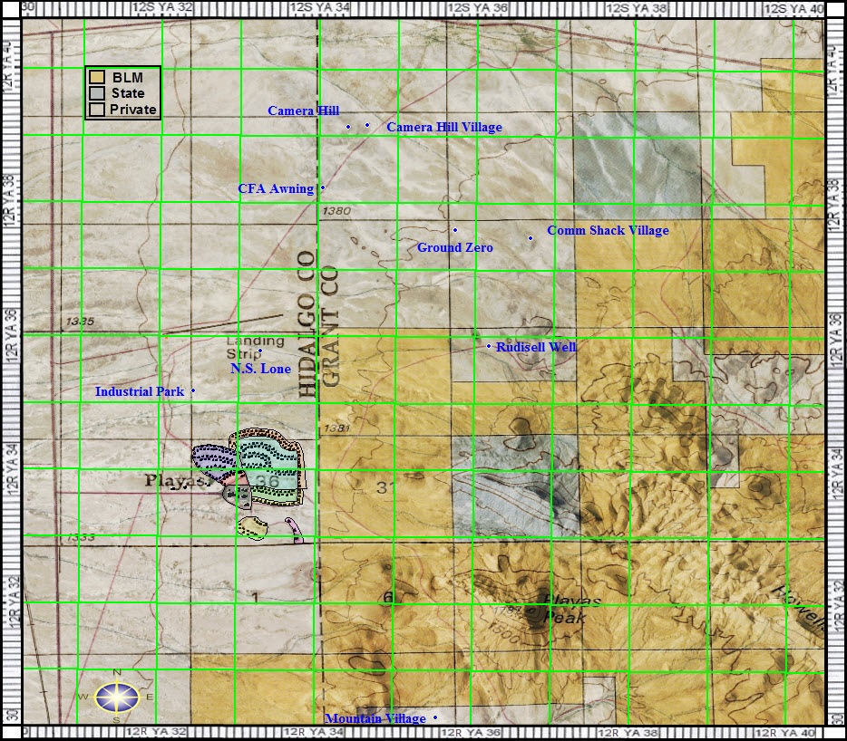
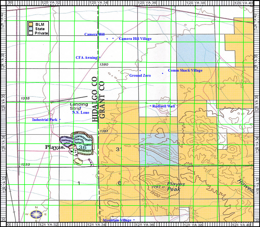
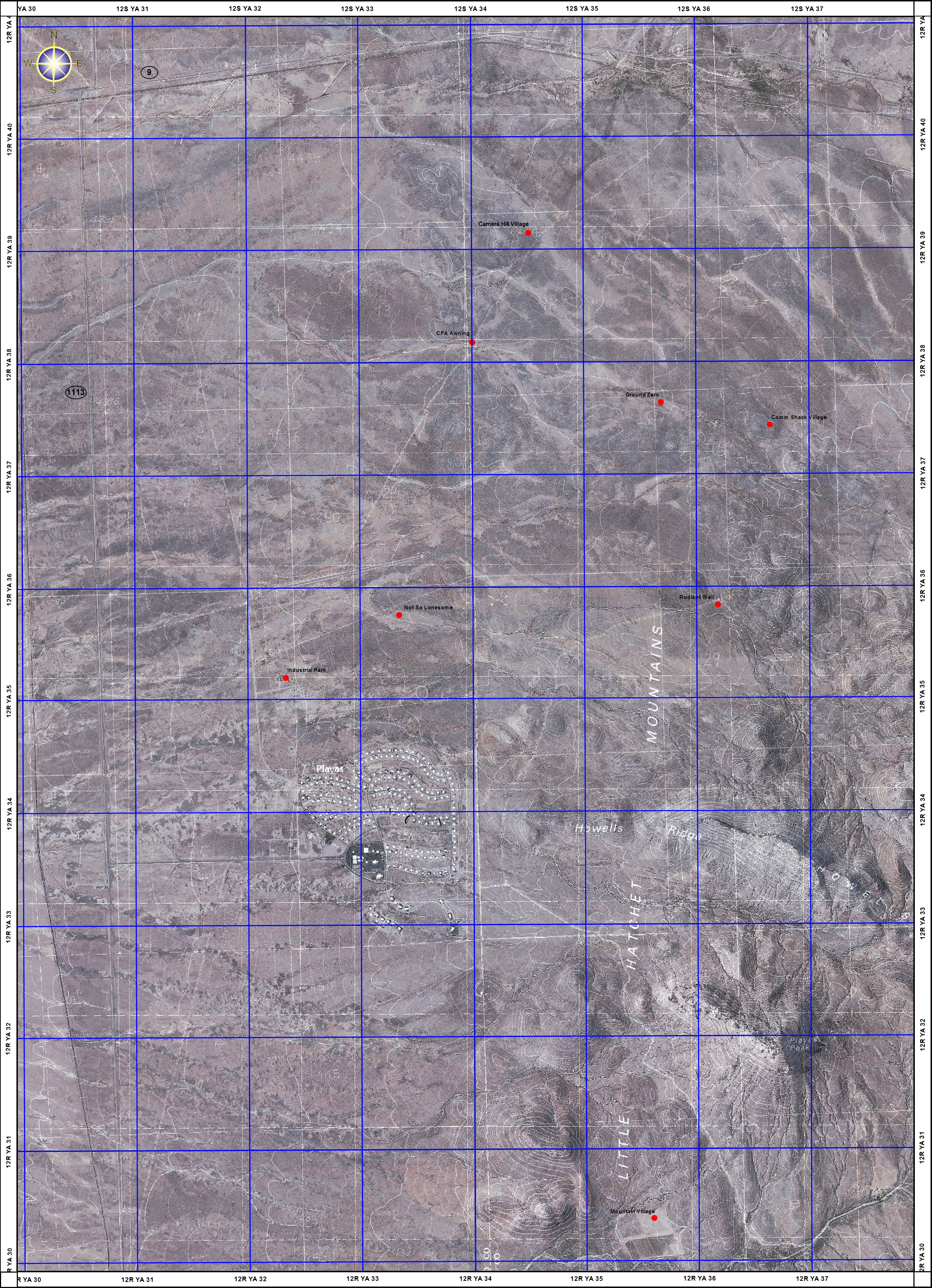
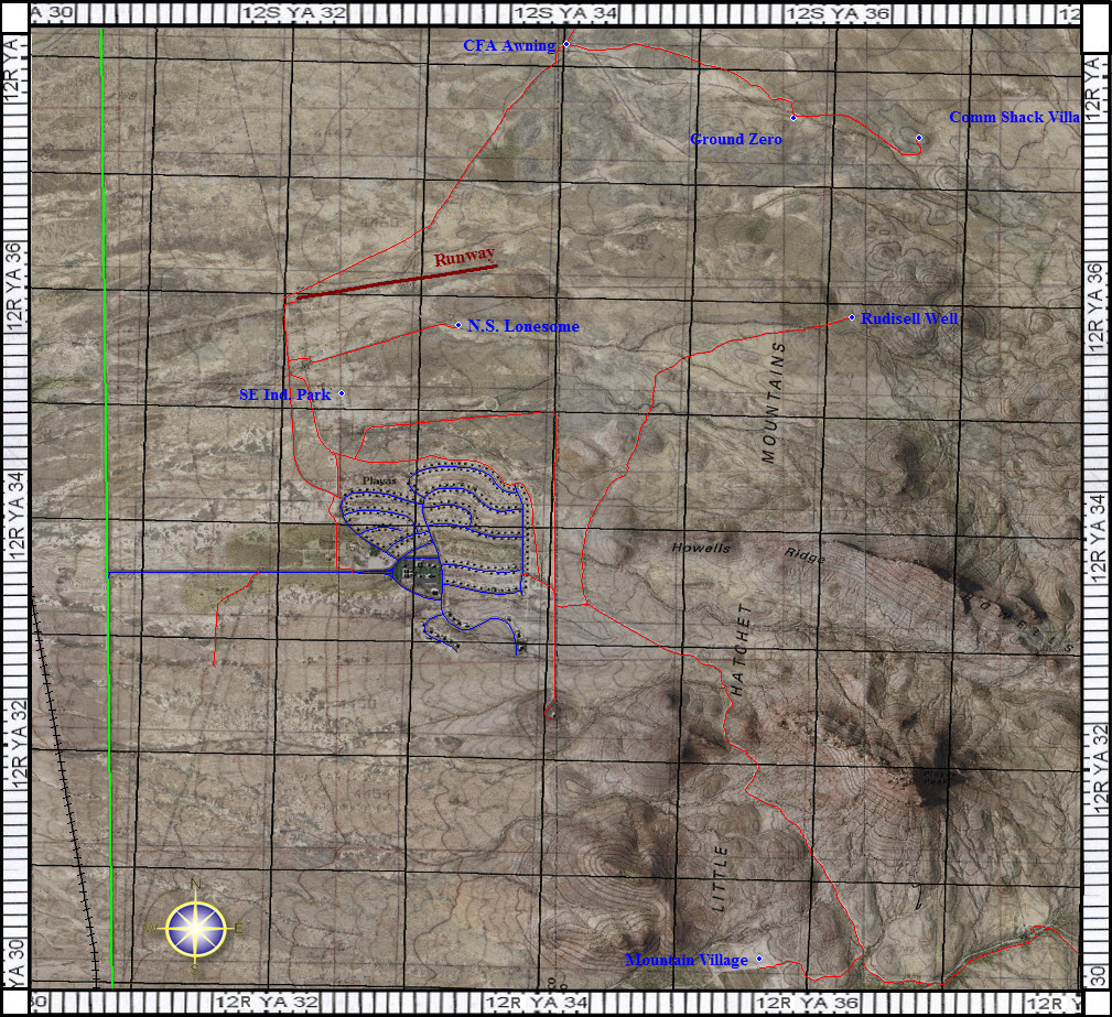
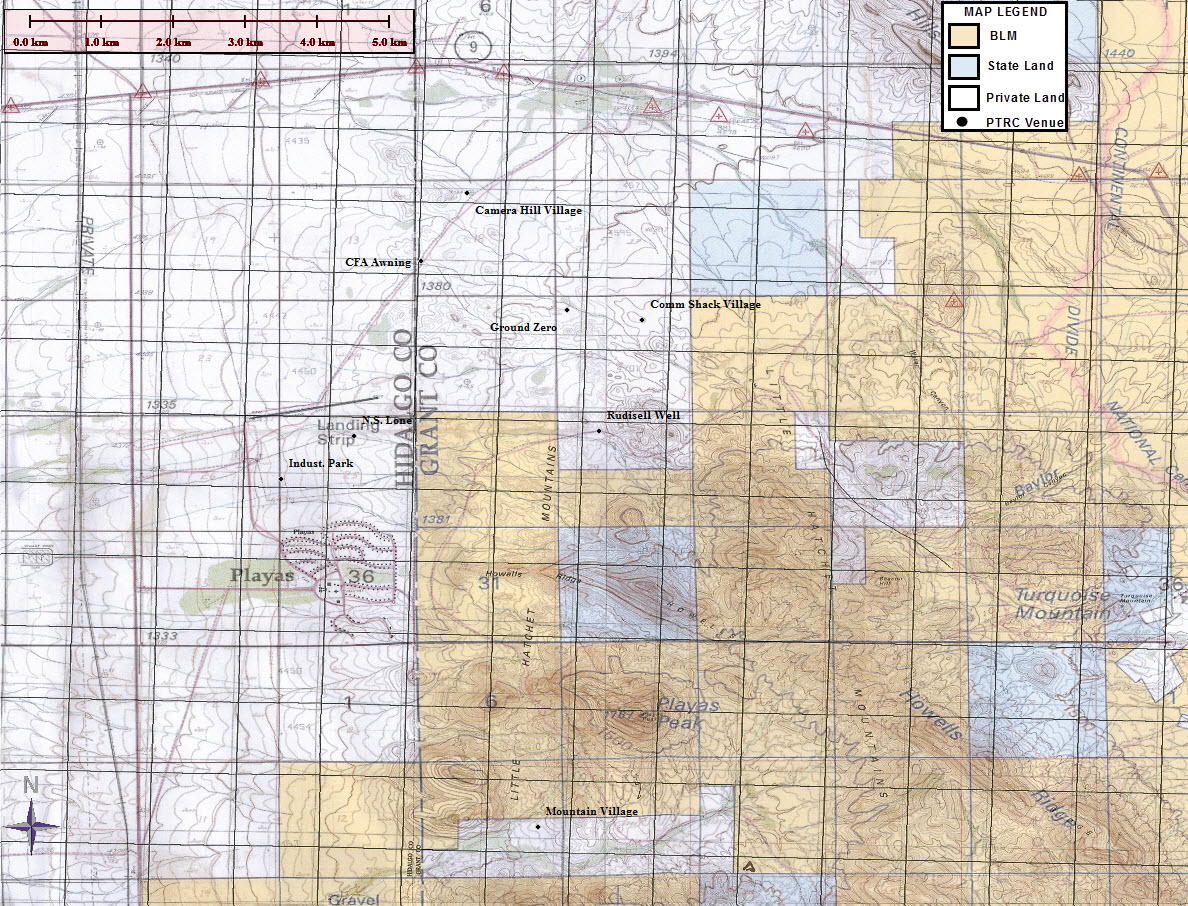
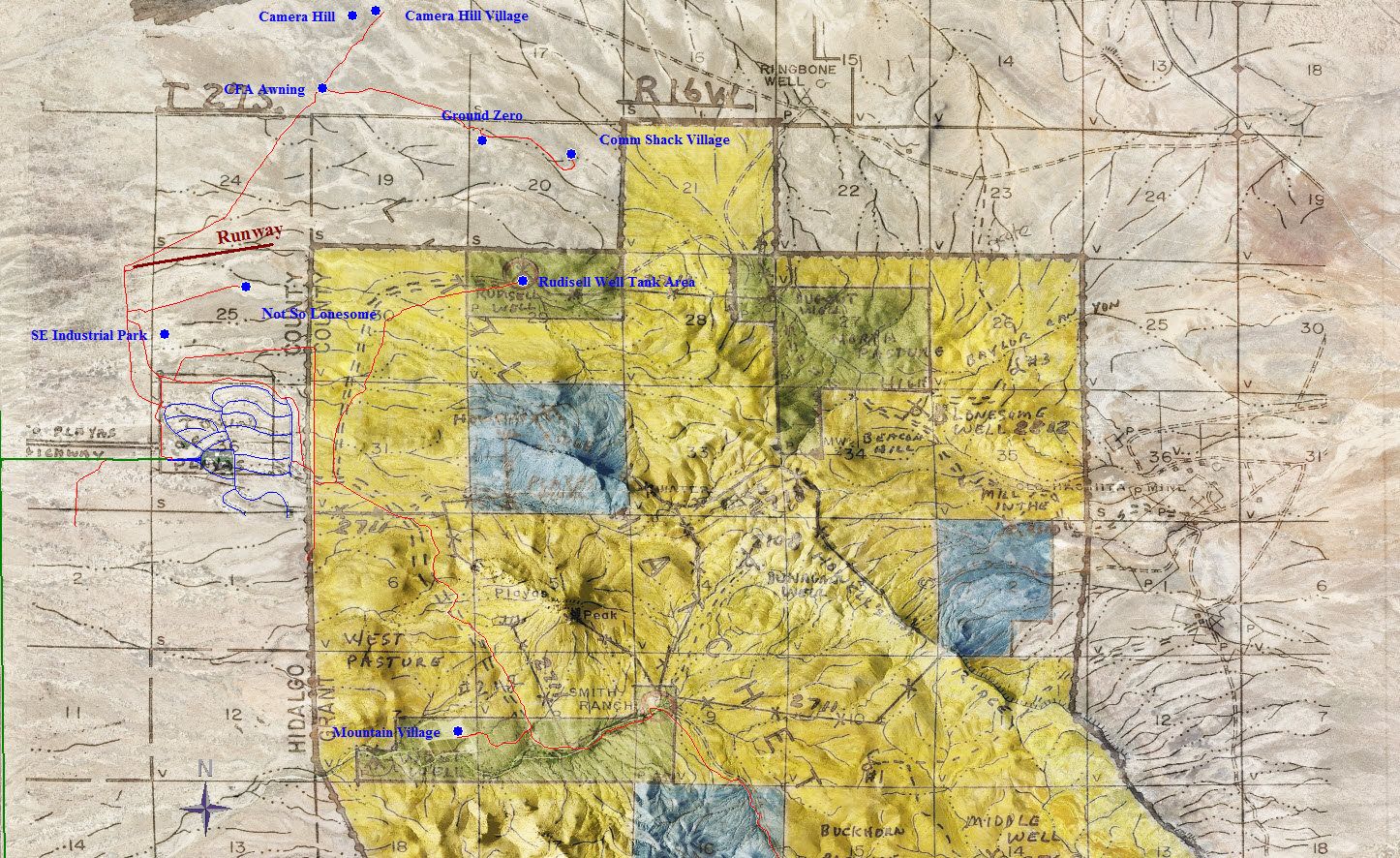
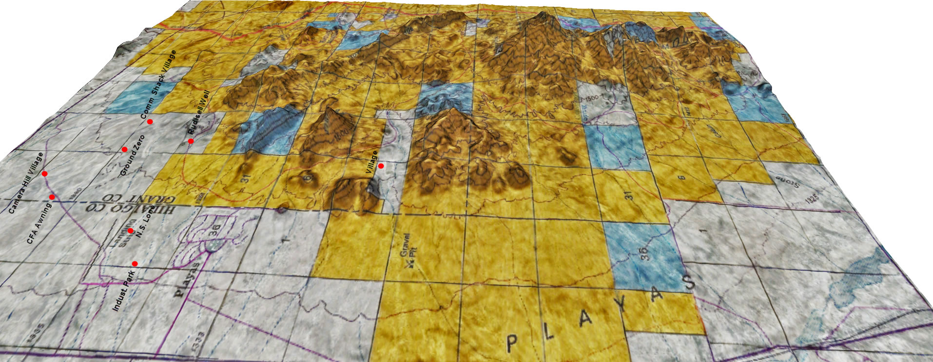
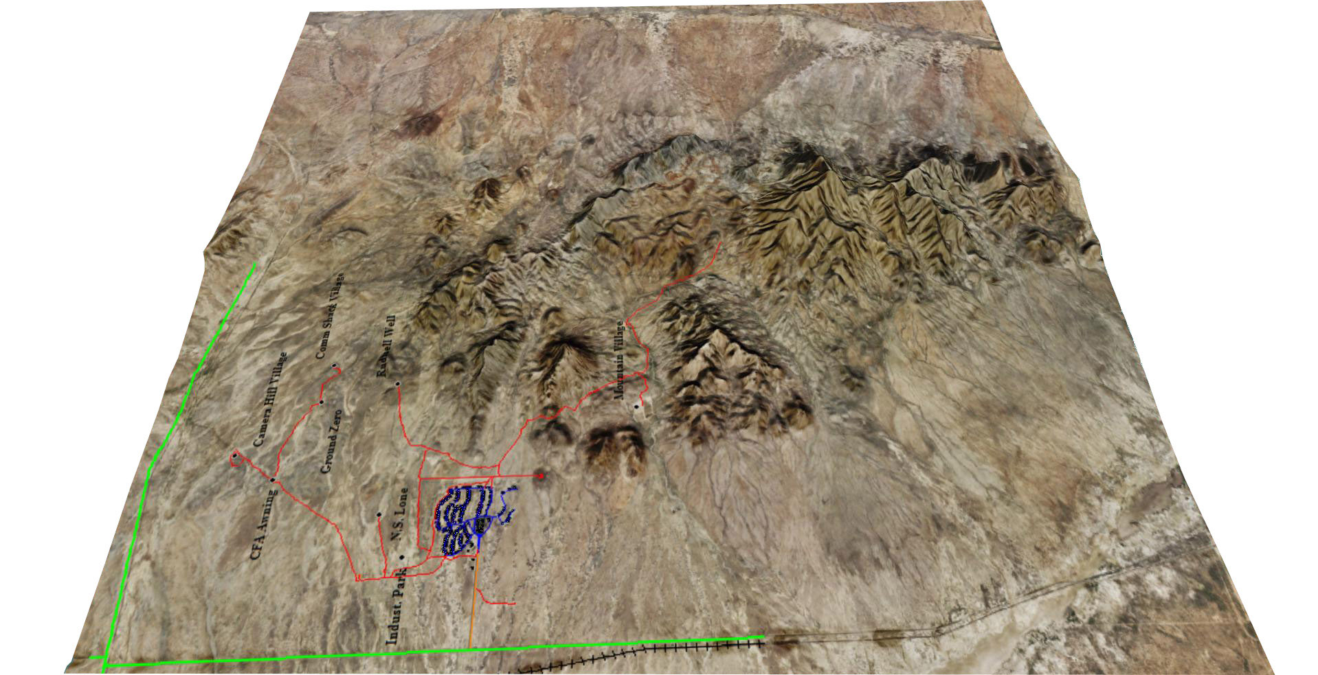
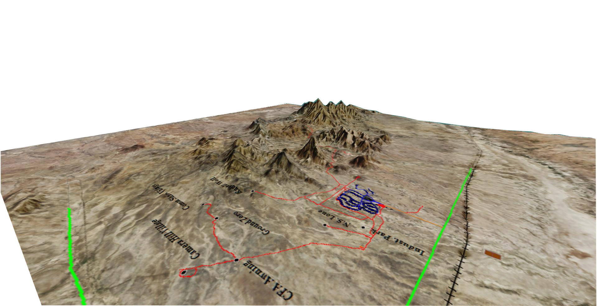
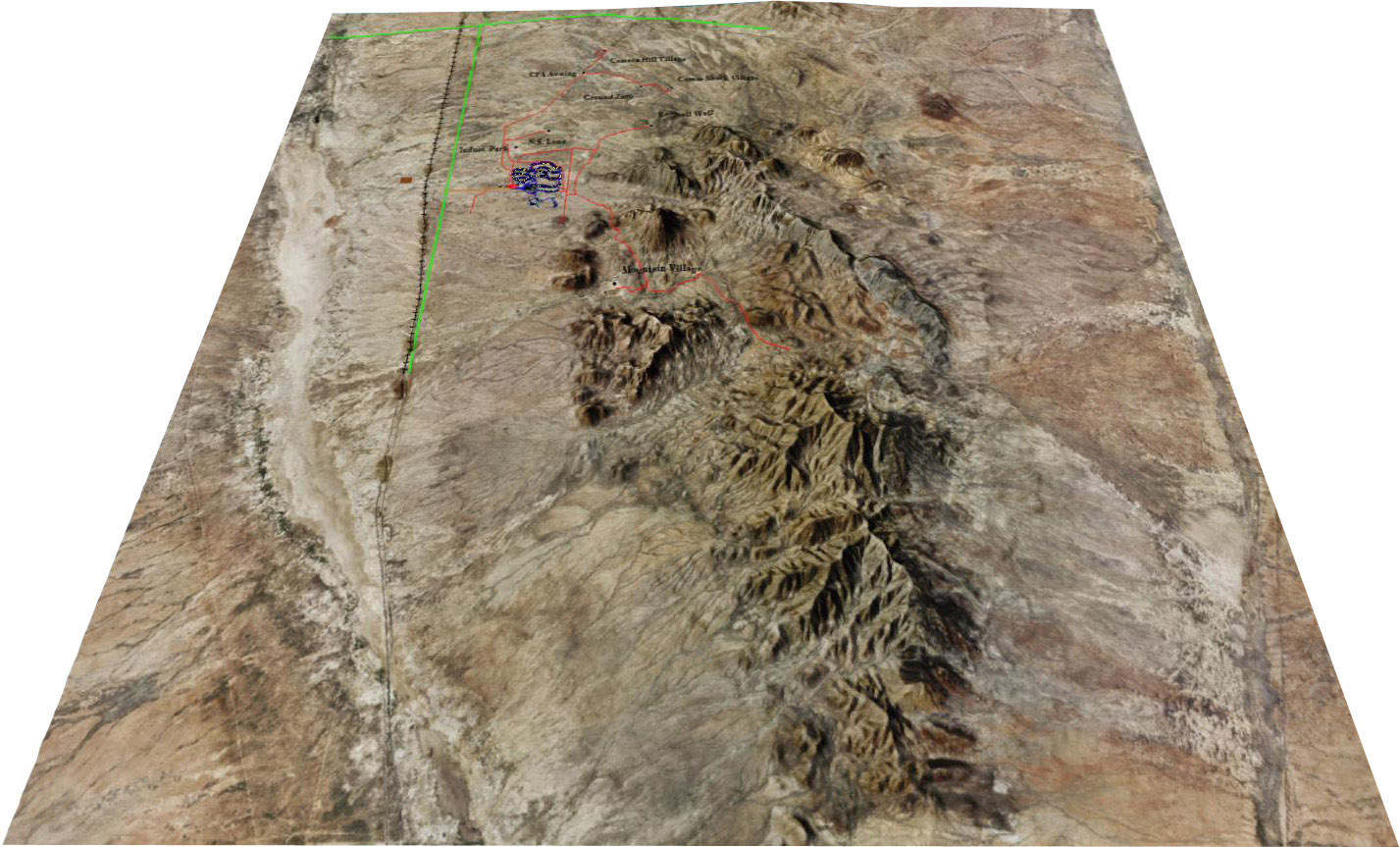
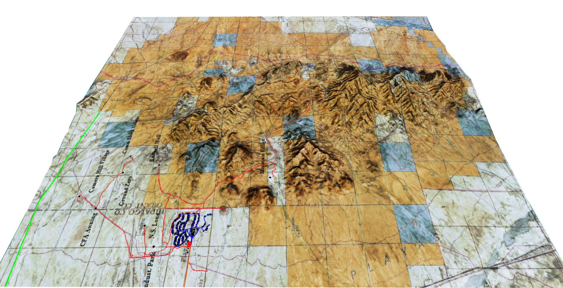
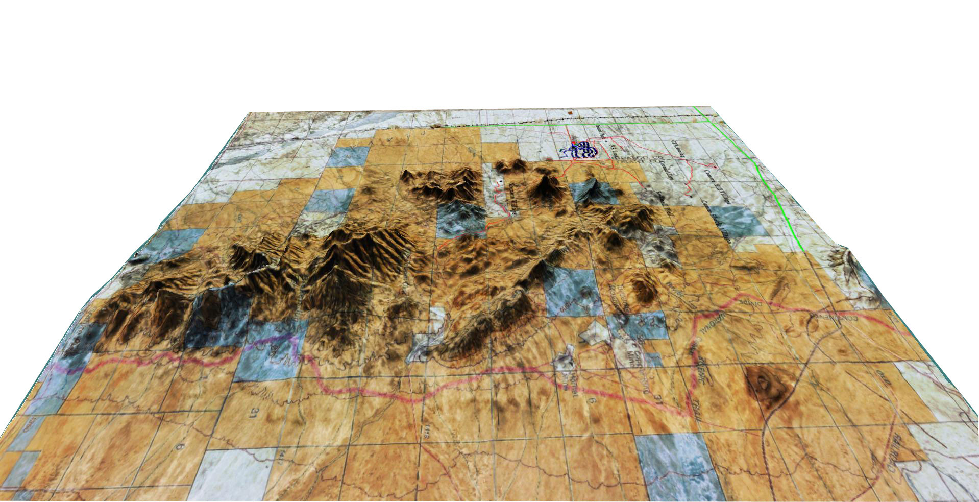
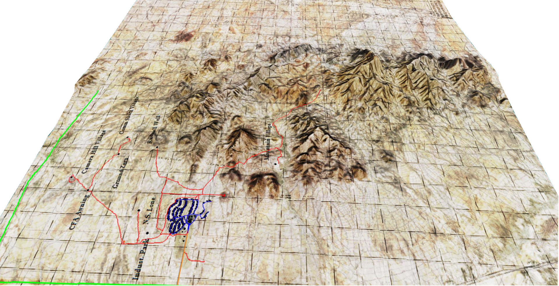
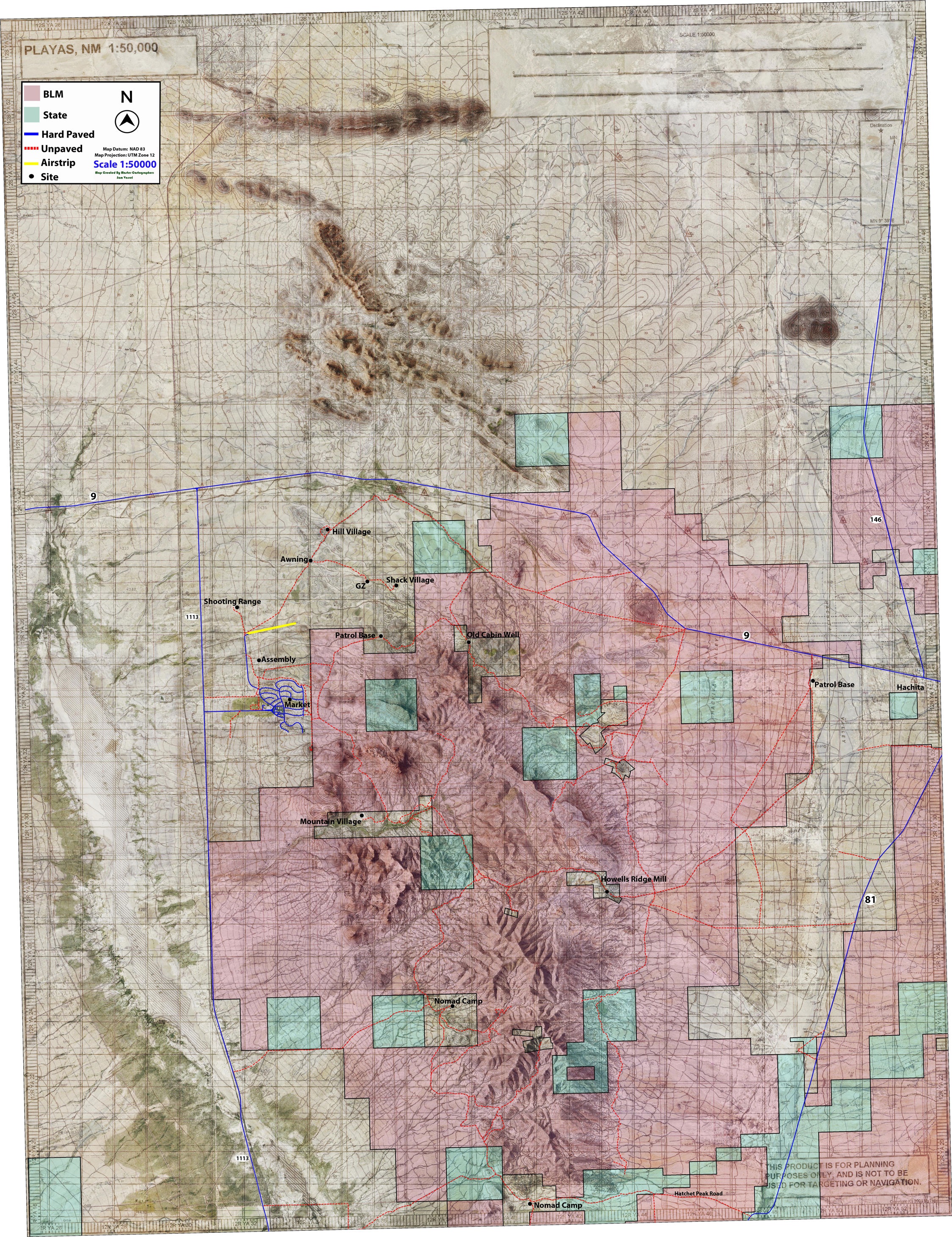
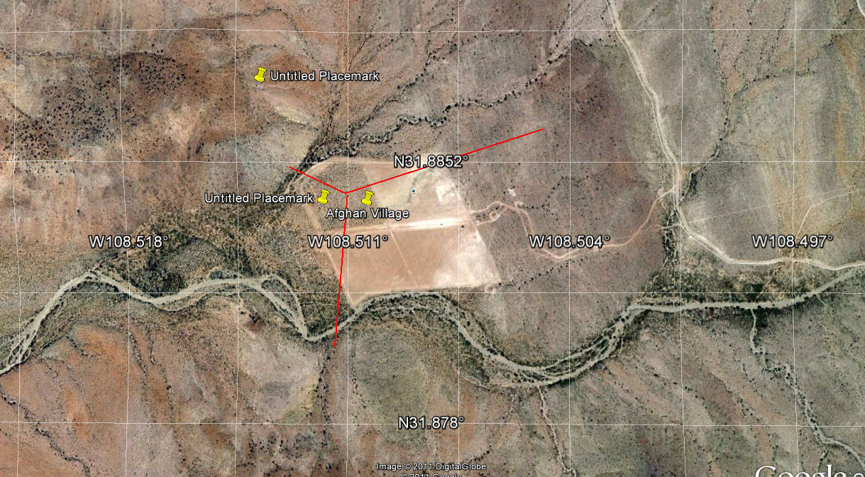
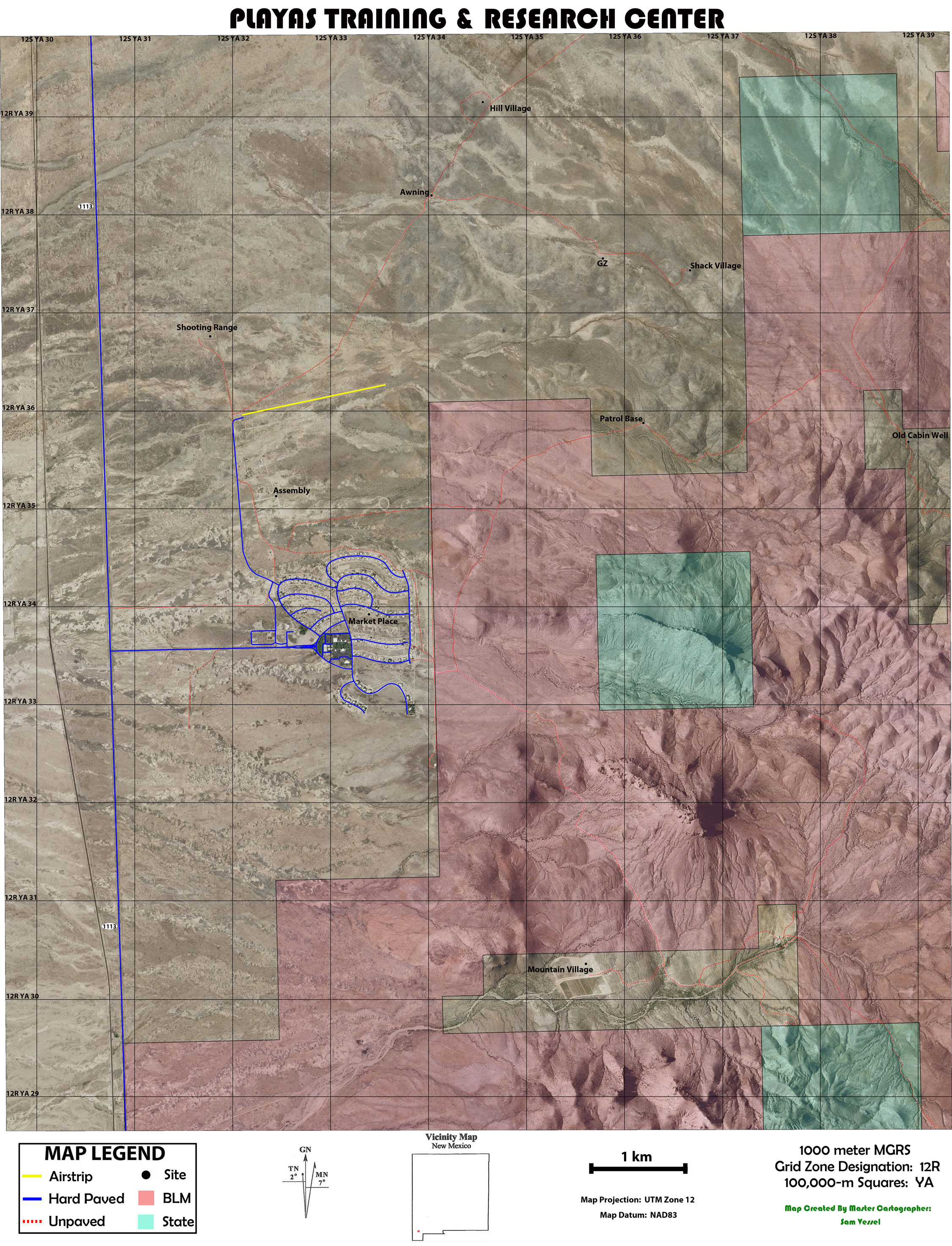
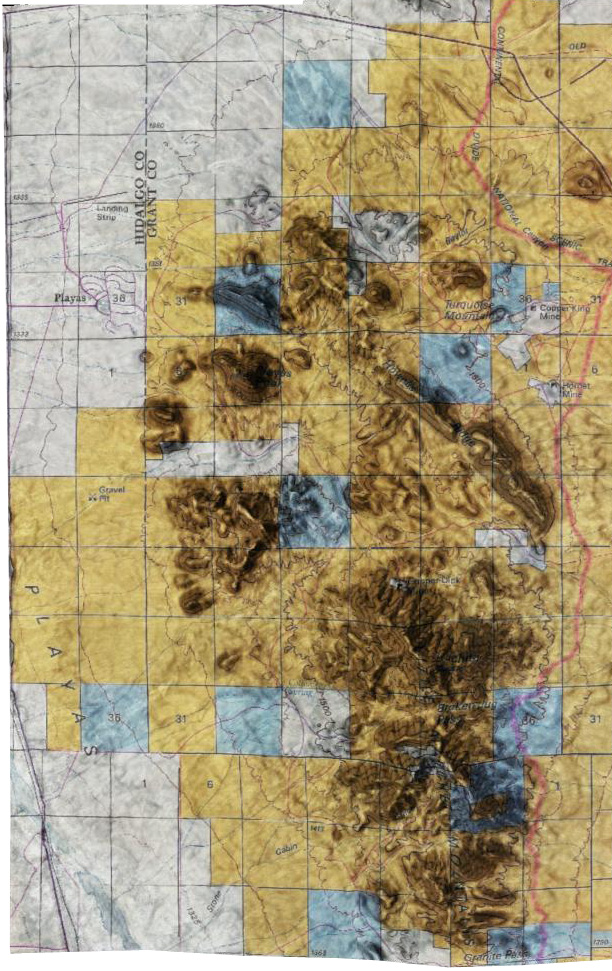
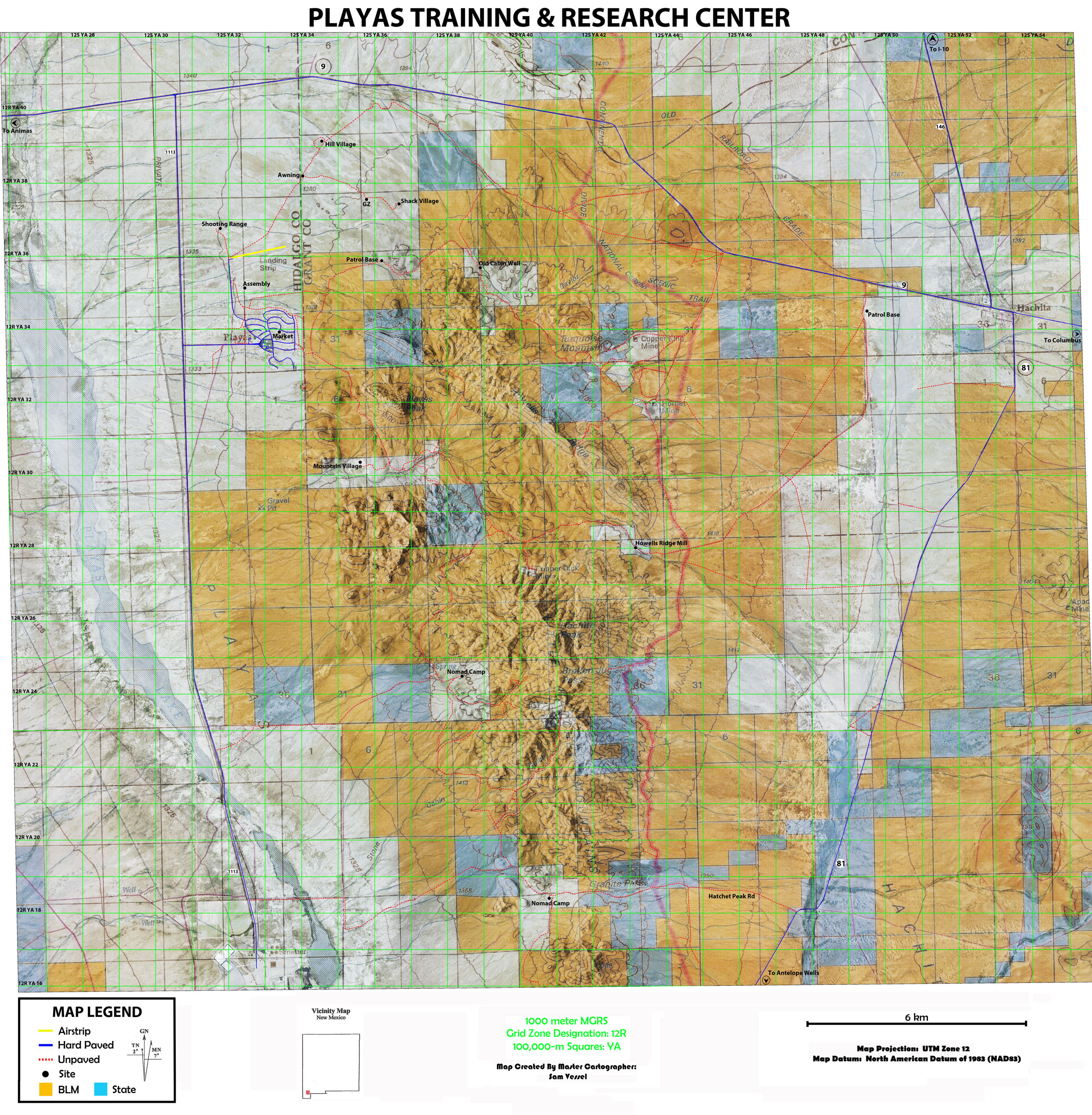
Grids and Geography!
Playas Training and Research Center (PTRC) employs many mapping technologies and has a full-time cartographer on staff (see side bar). PTRC offers many options in map creation and use:
- topographic
- land use
- image
- combination mapping
- overlay options
- GIS data, georeferenced and combined with raster imagery and vector data
Customers can choose from existing overlays or request custom work. Overlays can include:
- military or conventional grid systems
- terrain data to generate contours
- oblique 3D views
Explore PTRC ranges, plan your missions
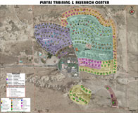
Playas Maps
1
|
2
|
3
|
4
|
5
|
6 |
7
|
8
|
9
|
10
|
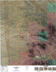
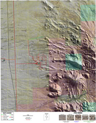
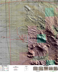
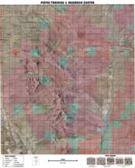
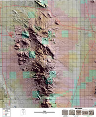
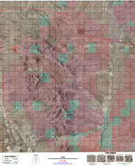
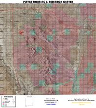
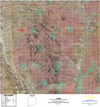
(Click to enlarge or download)
11 |
12 |
13
|
14 |
15 |
16
|
17
|
18 |
19
|
20 |
21
|
22 |
23 |
24
|
25 |
26
|
27 |
28 |
29 |
30 |
31 |
32 |
33 |
34 |
35 |
36 |
37 |
38 |
39 |
40
|


Zone.jpg)
Click picture for slide show
Links and News
Get Driving Directions on Google
PTRC Cartographer
Our master cartographer is a full-time staff member at PTRC. He has a B.S. in Geography from New Mexico State University and over ten years of professional experience. He provides customers with quality geospatial products and services.
Larger maps available by request.
“A good map is both a useful tool and a magic carpet to far away places." -Unknown
Venues
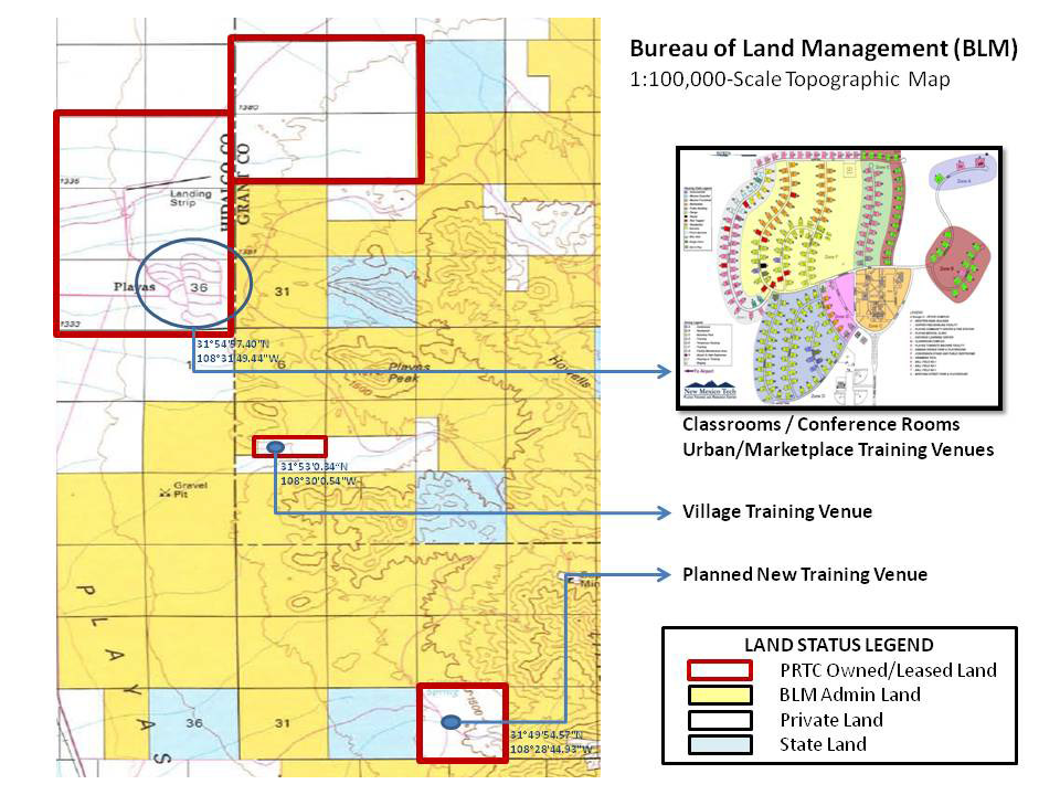 Click for larger map
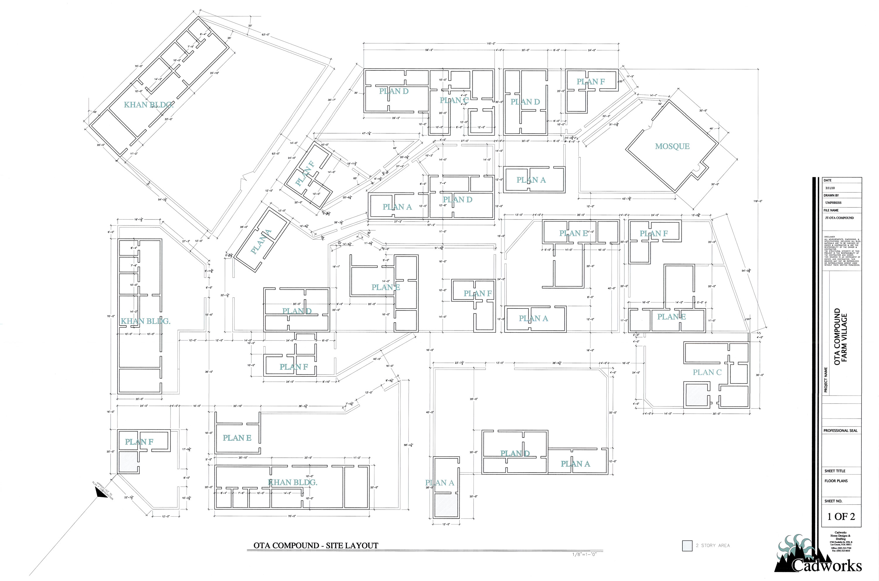
Village Schematic
Marketplace Schematic
OTA Marketplace
Digital Map (Interactive)
Marketplace PDF (one page)
Marketplace PDF (multiple page)
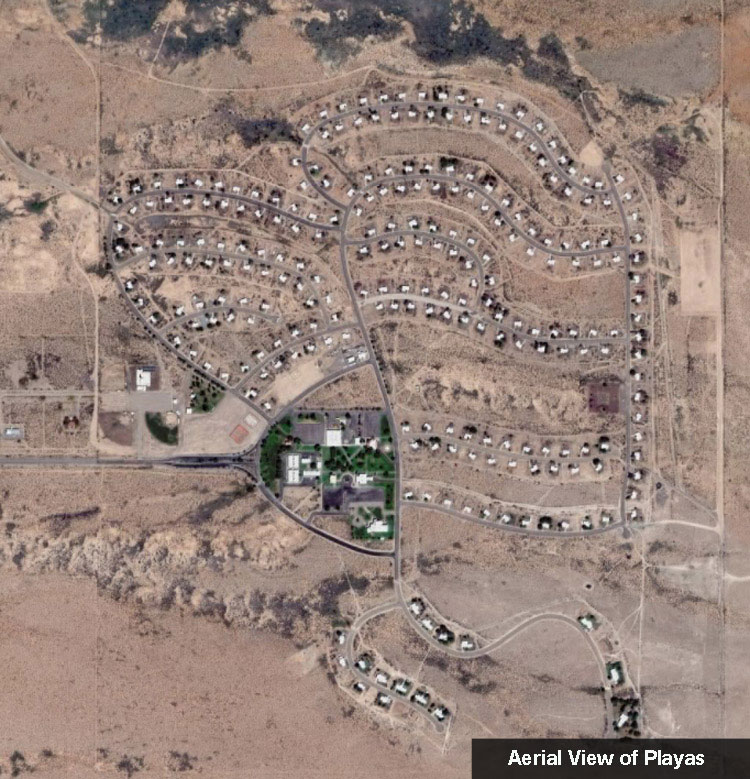
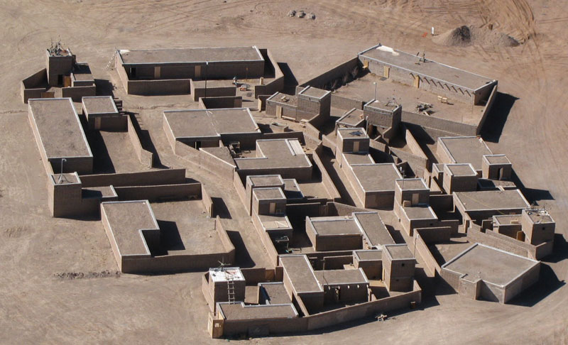
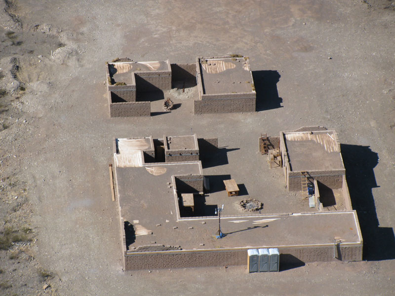
Aerial Shots of Venues
Mountain Village
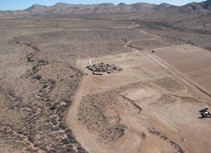
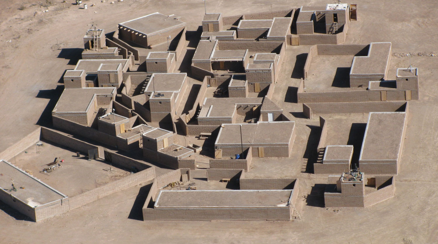

Small Villages (2)


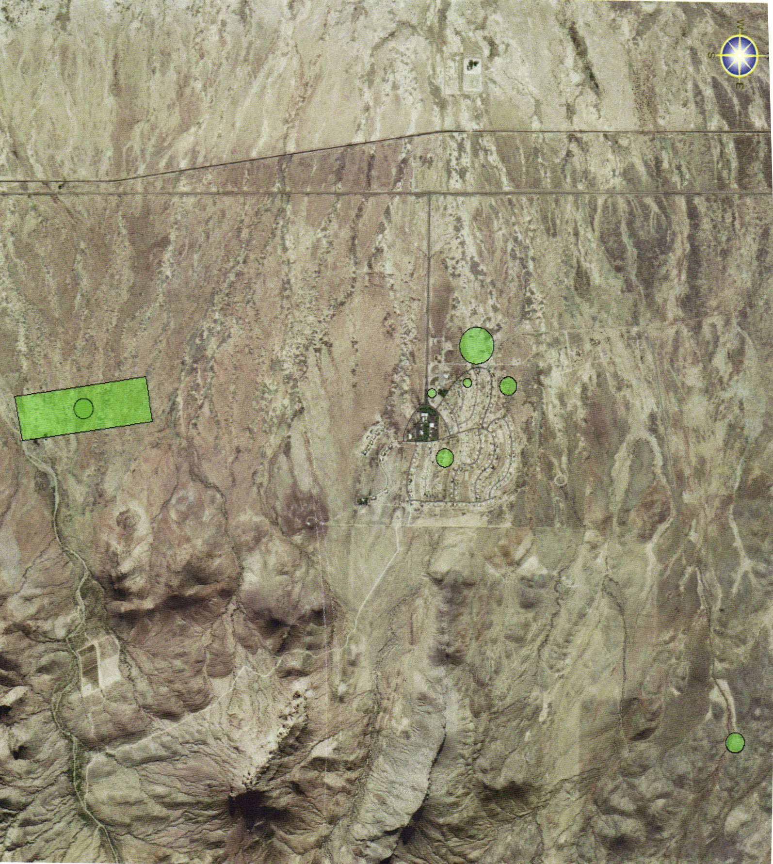
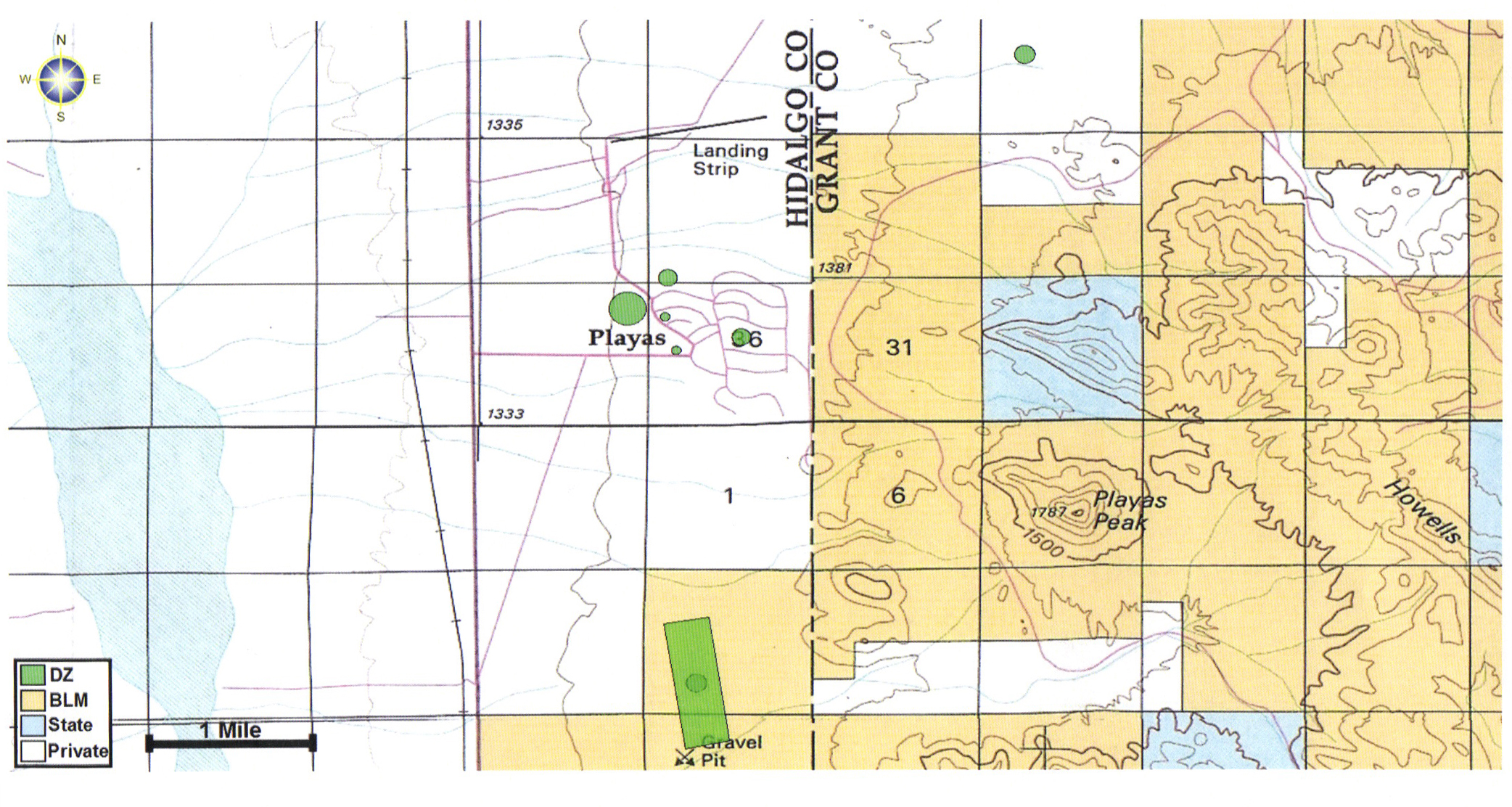
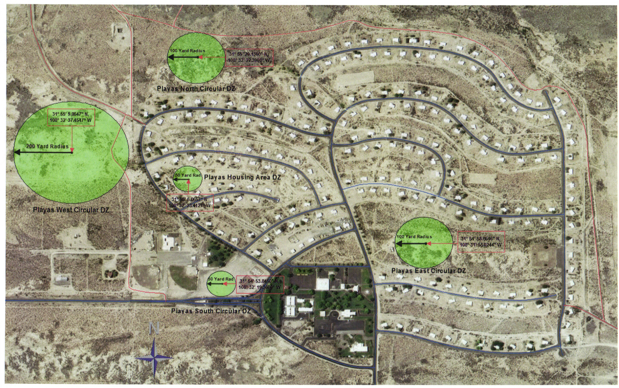
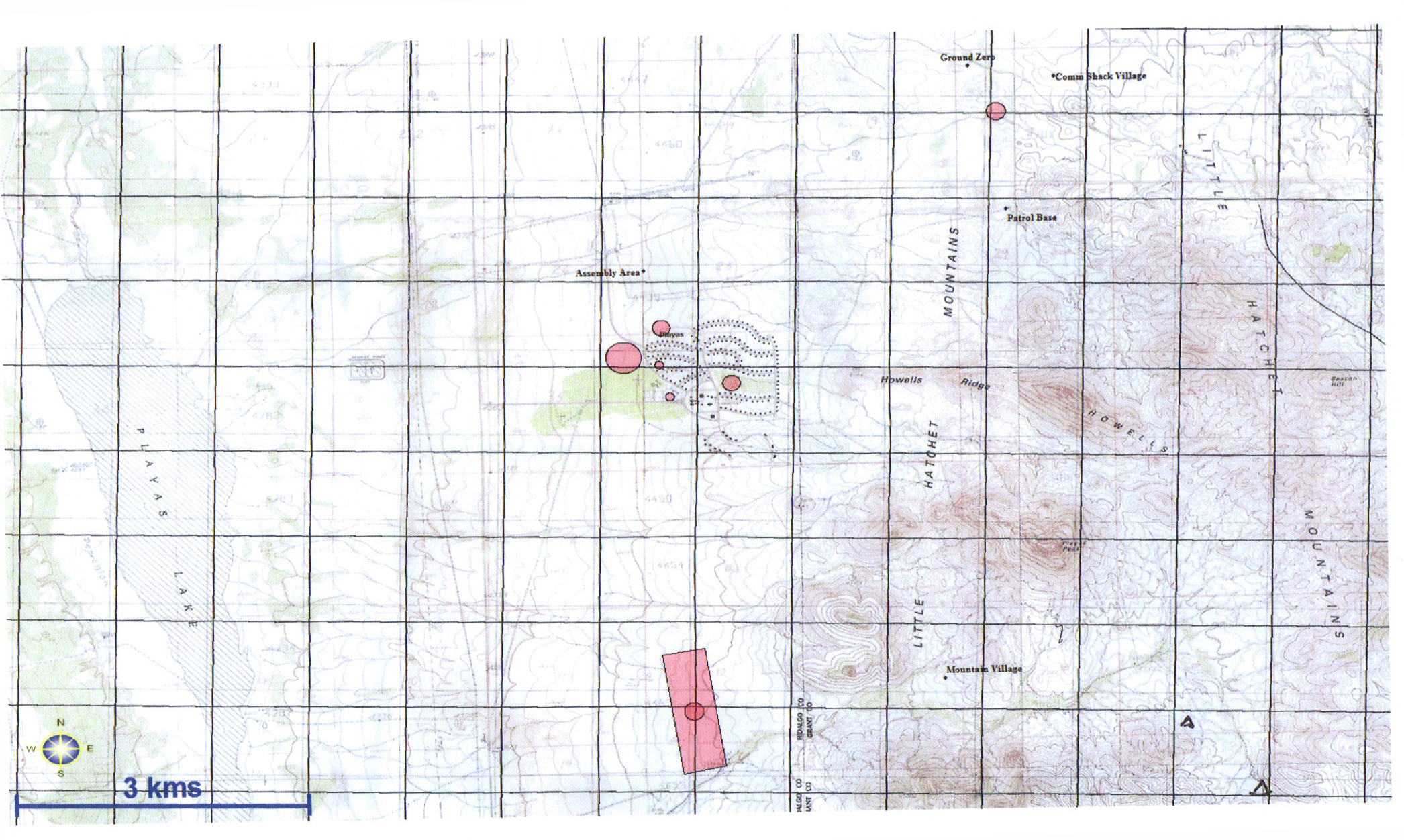
Drop Zone Documents & Maps